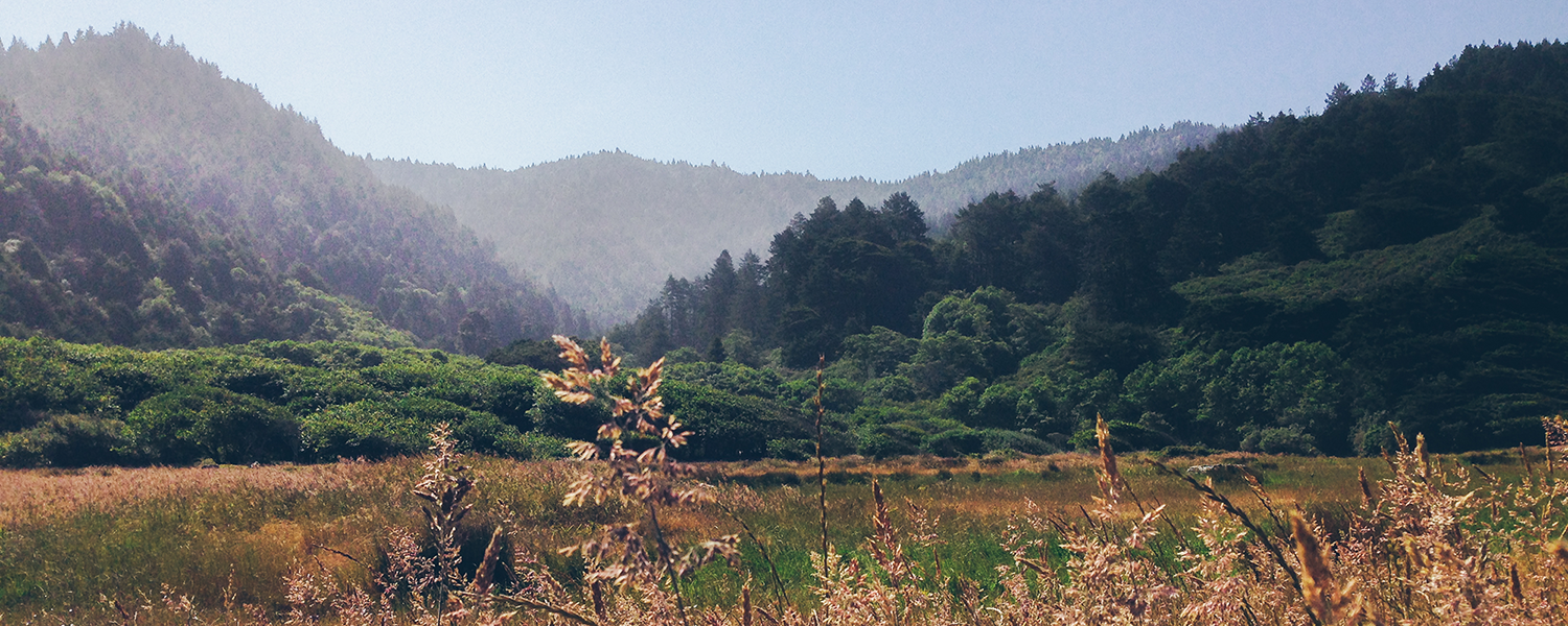
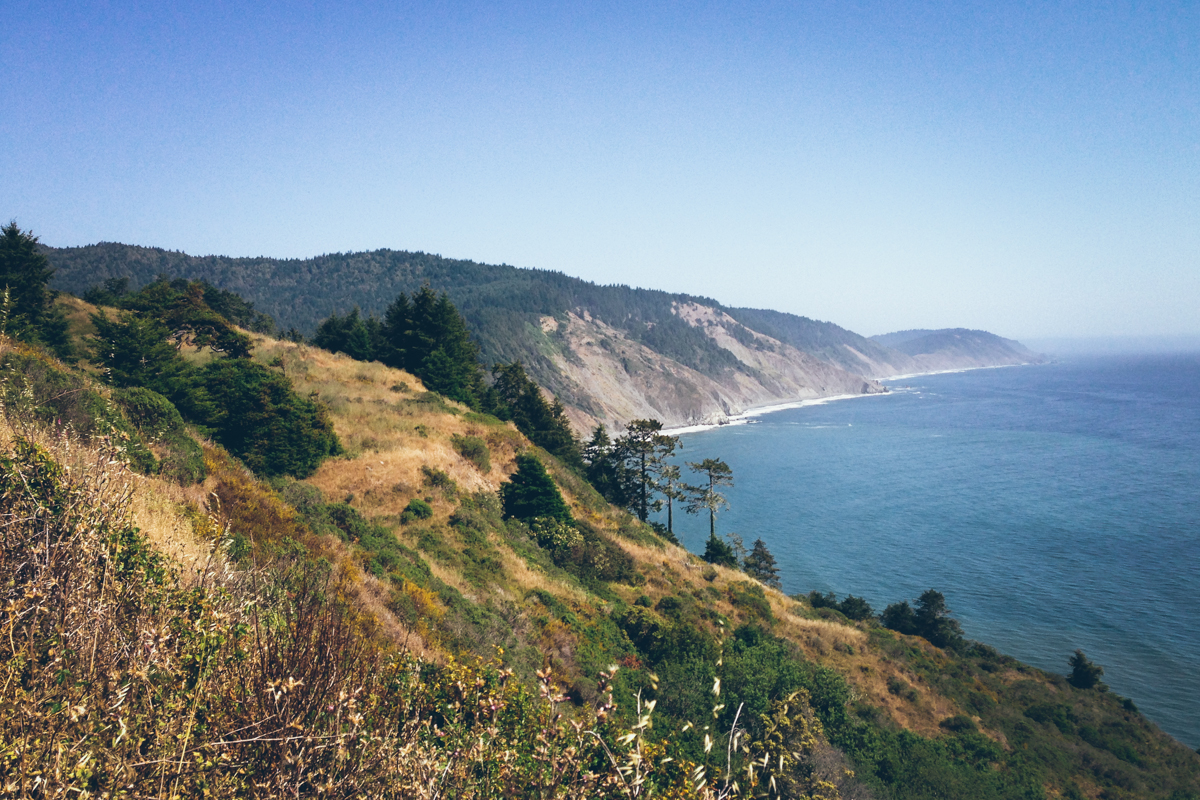
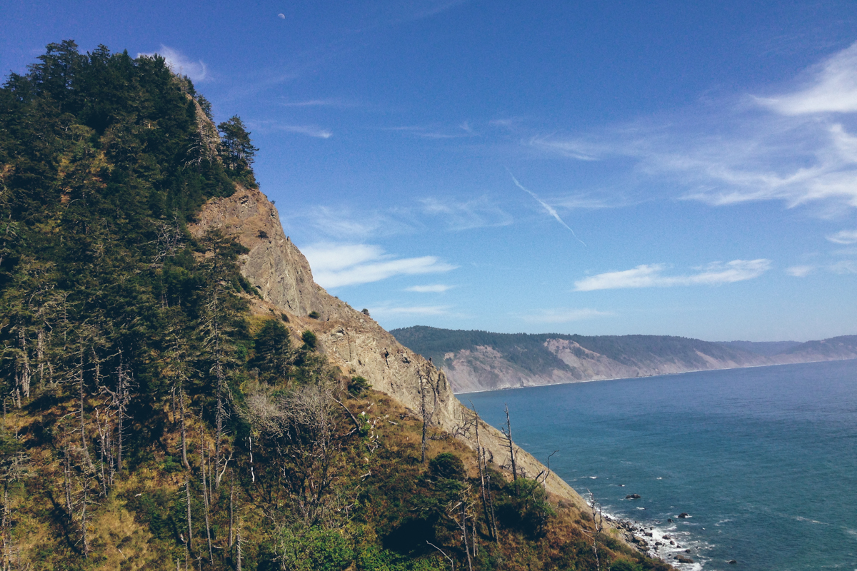
Located along the Northern coastline of California, the Lost Coast is a remote natural area that cannot be reached by paved roads. In the past, many road builders have attempted to build a road passing through this area but failed due to its steep slopes - hence its name “Lost Coast”. Today, the Lost Coast is a great location which offers majestic redwoods and beautiful views of the coastline.
I hiked a two-day long roundtrip along the coastal trail of the Lost Coast starting from Usal Camp and ending at Mistake Point. This section of the trail is roughly 11 miles long with about 3000 feet of overall elevation gain. The hike can sometimes be a bit difficult due to steep inclines, overgrown foliage, and stretches with uneven footing. However, overall the hike was very rewarding.
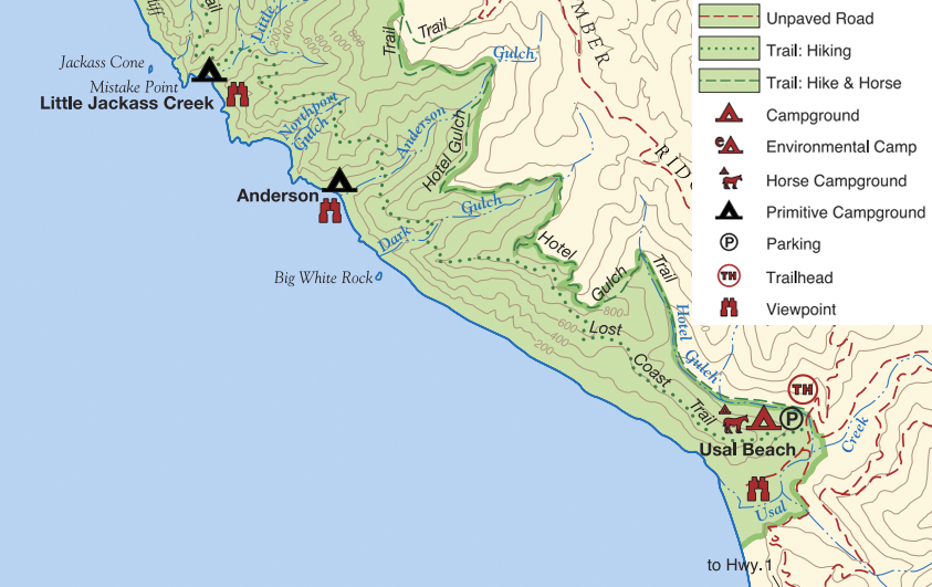
My hike was along the dotted line (map credit to California State Parks)
Preparation
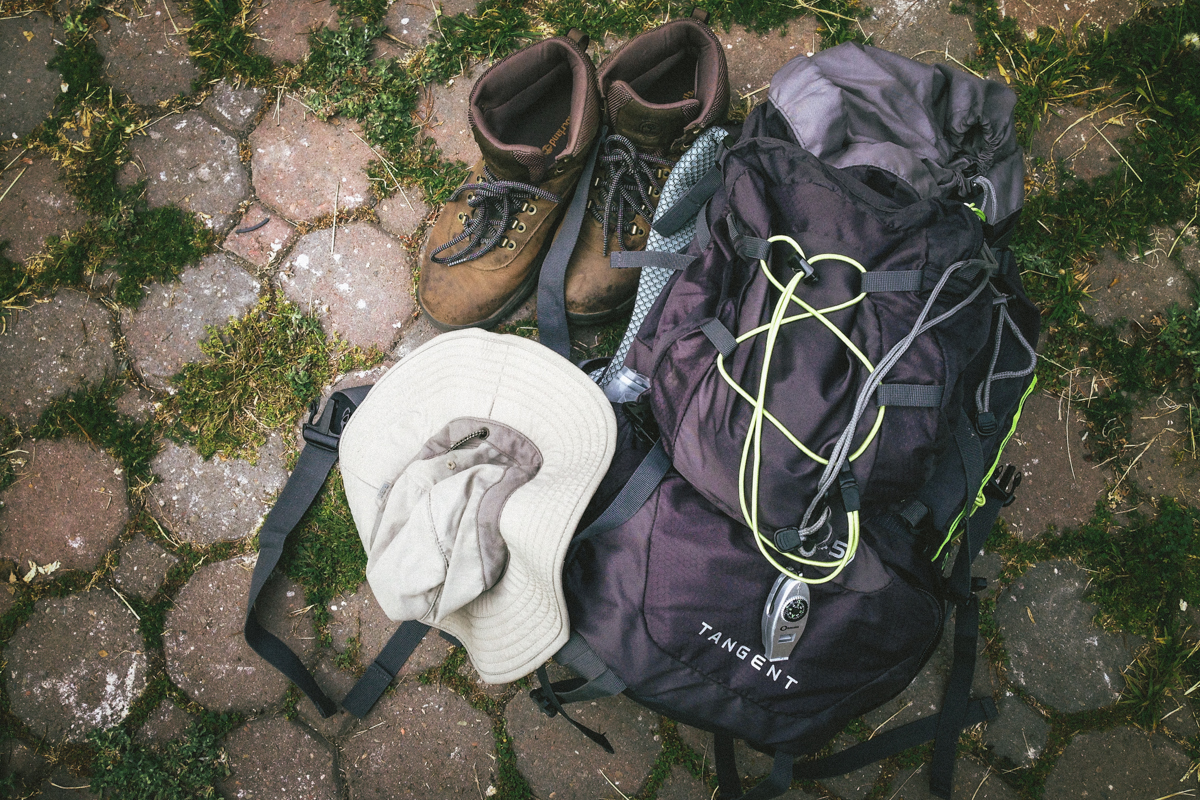
I packed the backpacking essentials (REI has a great list). Note that the trail intersects with a few fresh water creeks so water filters are necessary for rehydration. Some areas of the trail are overgrown with thorny plants so wearing long pants and long sleeves may offer slight protection if you can handle the heat. I tried to pack as lightly as possible, my backpack weighed about 35 pounds.
Getting There
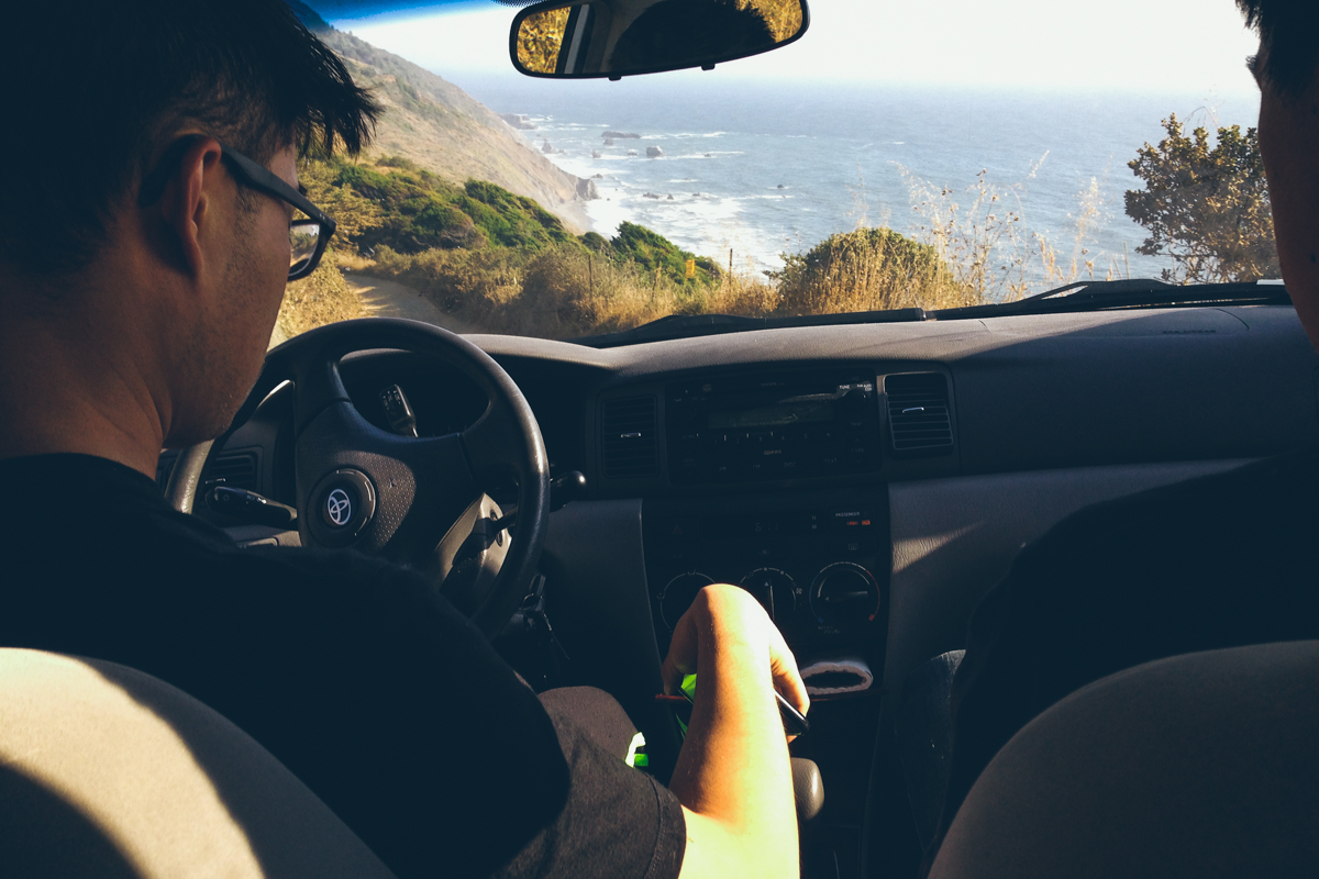
To reach Usal Camp, there is a dirt road that intersects California Highway 1 at the 90.88 milepost. The campsite can be reached after driving along the dirt road for about 6 miles.
The Hike
The beginning of the hike is an uphill with a few switchbacks in the redwoods. This area is tame and lets you catch your rhythm before going into the more challenging areas of the hike.
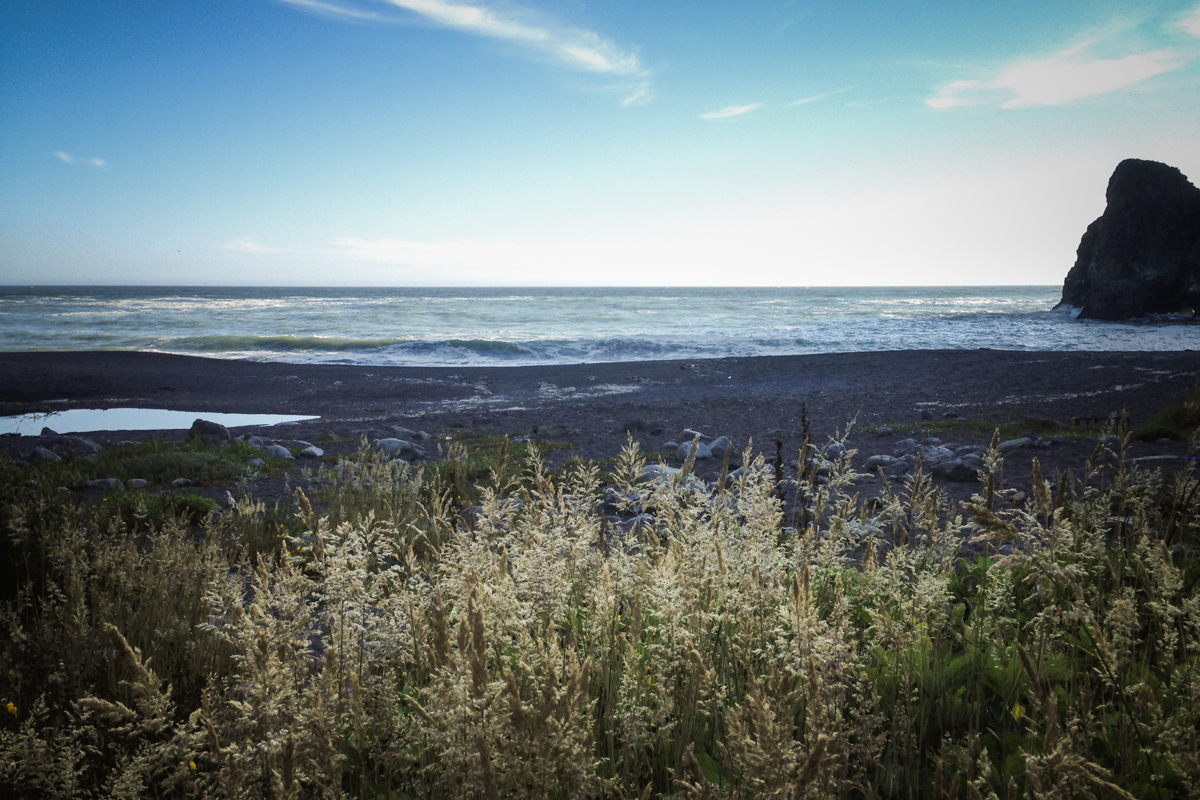
Next, The trail exits the woods and leads to a clearing with a view of the coastline. This stretch of the hike is very pleasant - the ocean breeze on a sunny day feels amazing.
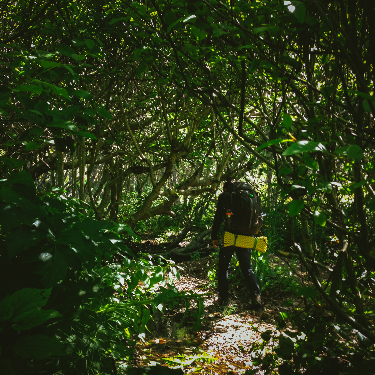
The next part of the hike is not the most difficult part, but it is the most painful. The trail becomes overgrown with thorny plants that you have to fight through. Sometimes these thorns may get caught in your clothes or skin and are a hassle to get out.
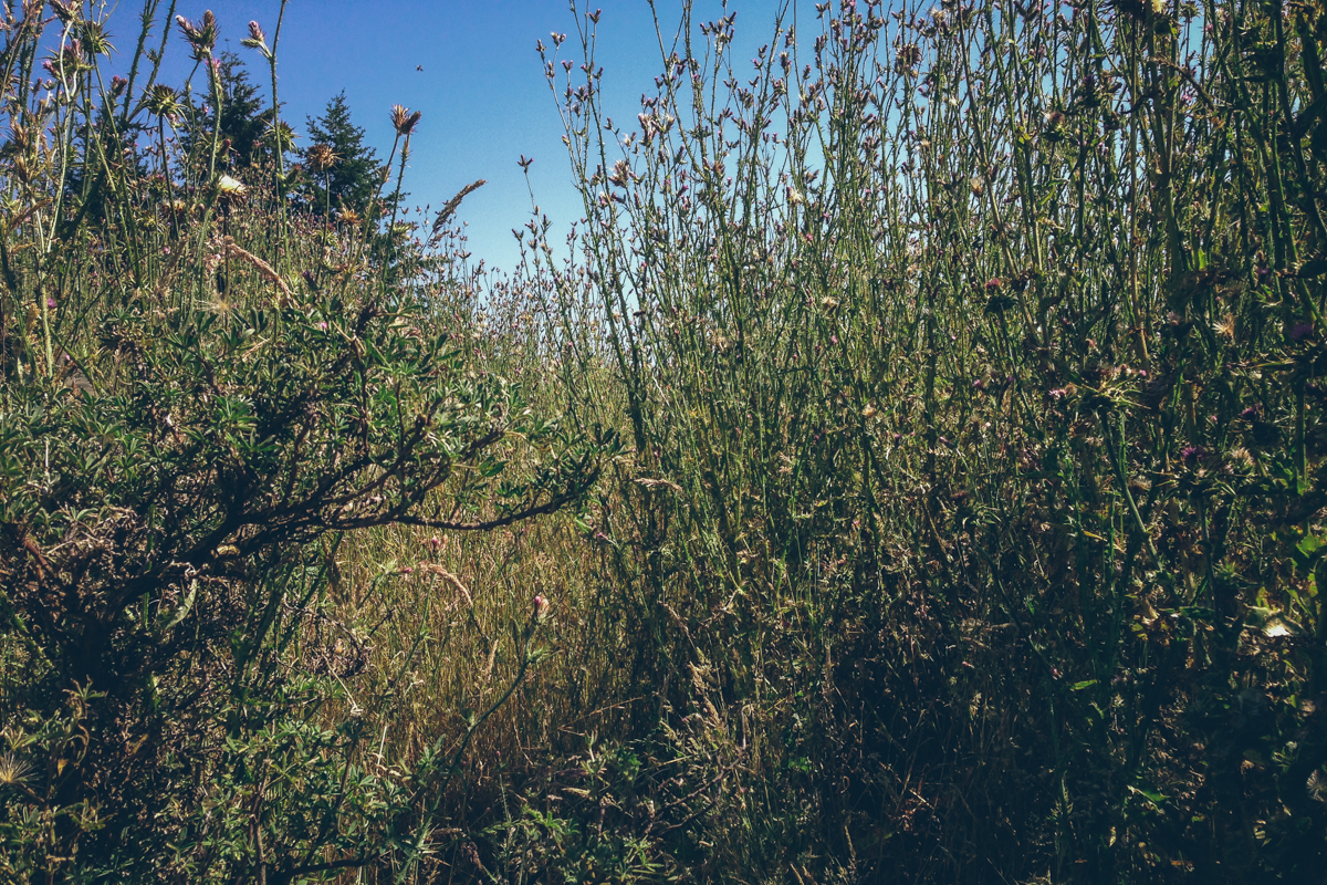
Notice the small clearing in the center-left; the trail goes through these plants
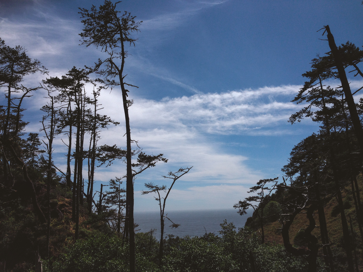
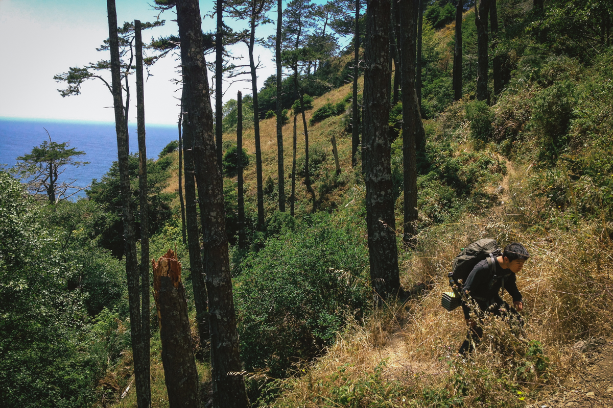
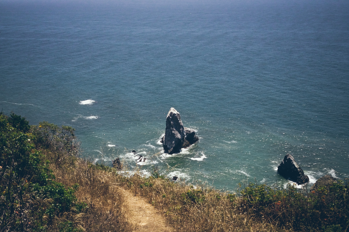
Past the thorns, the trail enters the woods again. There are many steep hills here but also many large flat sections where you can sit down and take a break. There are some spots here that you can catch glimpses of the ocean. Extra caution is needed on the hills because the trail becomes very narrow and your footing may give away due to loose gravel. A slip will lead to a precipitous tumble off the edge of the trail.
Eventually the trail crosses a fresh water stream. Here, you can rehydrate yourself and fill any empty water bottles - watch out for mosquitoes though as they tend to congregate near the creek. A little past the stream is Anderson Camp. This is a good place to take a break because the last stretch of the hike to the campsite at Mistake Point is very tiring.
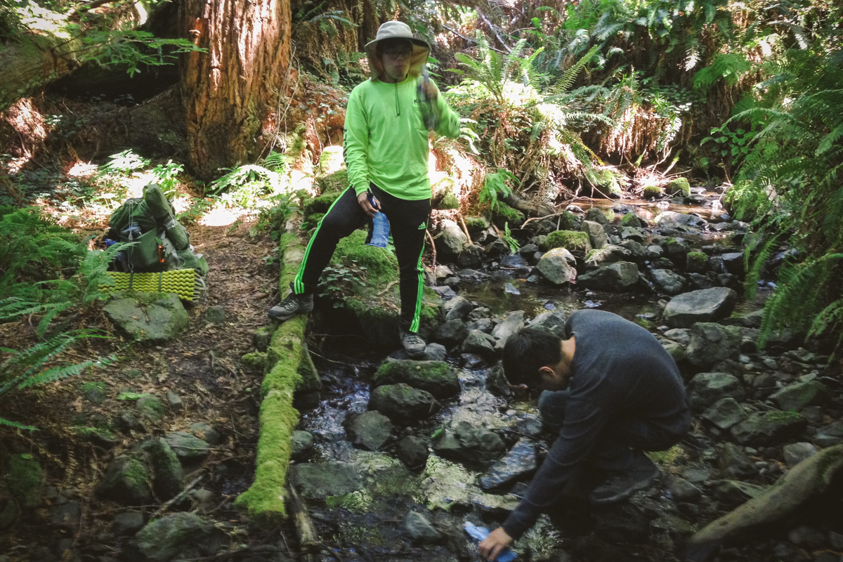
I highly recommend Sawyer Squeeze Filters. Slow to fill but easy and light to carry

Outhouse at Anderson Camp, no door so you better get comfortable
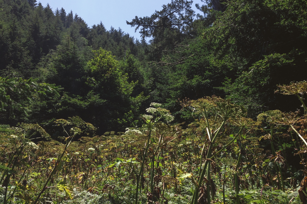
The final stretch is very steep and uneven which makes the hike quite difficult - even more so if you are already fatigued. The scenery here is varied with many different types of plants.
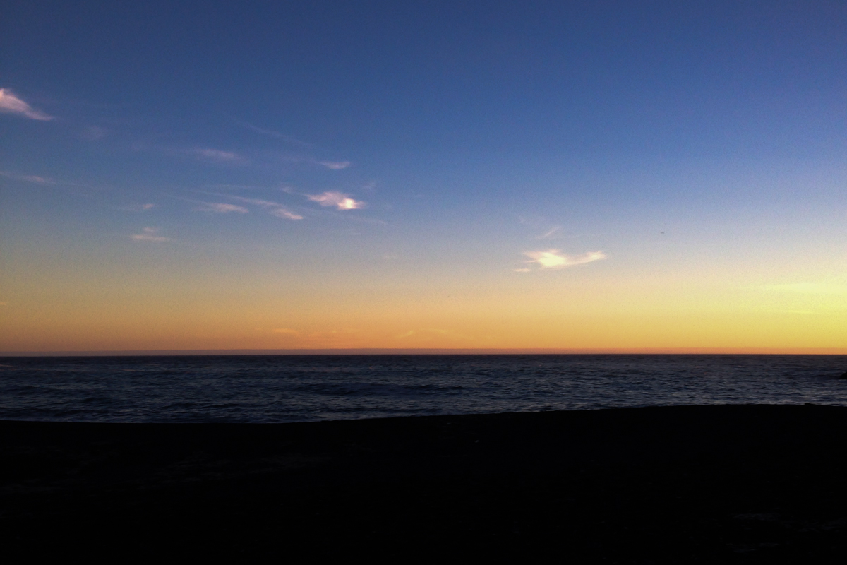
Eventually, the trail reaches a cozy-looking campsite by a creek. However, those who camp out here will miss out on one of the coolest experiences during this hike. Past this point, there is a subtle path that going through some bushes and leads to the beach by Mistake Point. Setting up camp here and spending the evening at the beach relaxing to the sound of the waves is a great way to end a long day of hiking.
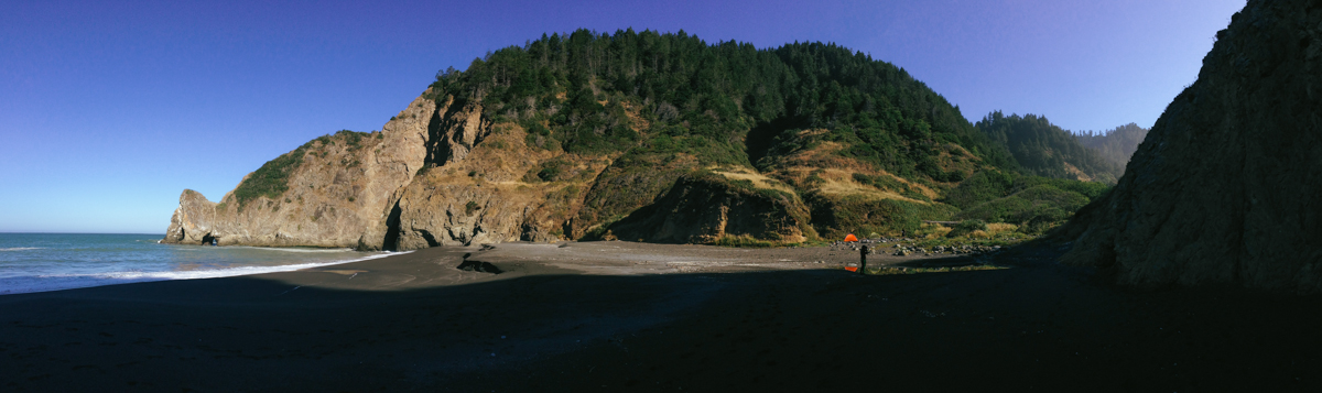
The orange and yellow tents in the center right is our campsite
Conclusion
I would highly recommend the Lost Coast to those looking to find amazing views of the California coastline and a moderately challenging hike. I would not hesitate to come back and hike through further sections of the trail in the future.
Shoutouts to Raymond Liu and Byron Pang for making this trip happen and shoutouts to the friendly staff at Mom’s Buffet in Willits, CA for providing an unexpected Chinese buffet in a small rural town for three hungry hikers.